

Update: these new features have been released in AIMMS SC Navigator 2.27.01. This topic has been updated with more information.
We have integrated the GIS data service LocationIQ into Data Navigator and have built significant new functionality that will allow you to automatically generate geocodes together with real trip times and distances in AIMMS Network Design. This has two important benefits:
-
Geo-Coding :
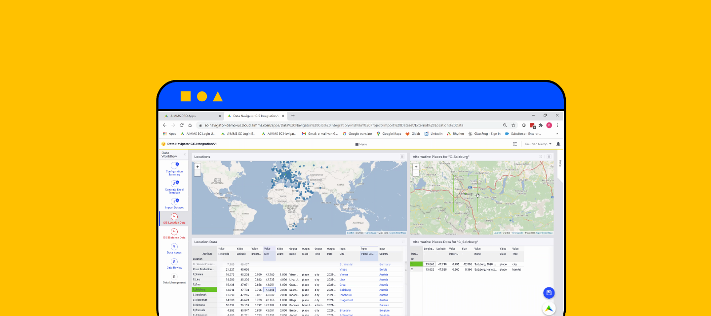
In addition to importing latitude and longitude directly, you can now import address data (country, state, city, street and zip code), and then use the geocoding function in Data Navigator to generate geo-codes based on the address data. You can now also manage the quality of the geocodes generated.
-
Trip times and distances
In addition to importing actual trip times (used for lead time constraints) and distances (used for cost per km or cost per mile transport costing), you can now generate these automatically in Data Navigator. You can also adjust these for different modes of transport. Moreover, it’s now possible to combine straight lines (plus a user configurable factor), input data, and data generated by LocationIQ in a way that makes sense for your model.
Watch the demo video on our Network Design user group page